Welcome to the East Midlands Copernicus Relay
NCEO and the University of Leicester are hosting the East Midlands Copernicus Relay.
Copernicus has been specifically designed to meet user requirements. Through satellite and in-situ observations, the services deliver near-real-time data on a global level which can also be used for local and regional needs, to help us better understand our planet and sustainably manage the environment we live in.
The East Midlands Copernicus Relay took part in the CoRdiNet project financed by the European Commission under the Horizon 2020 program, grant no. 821911. CoRdiNet in 2018-2020 organized joint outreach and dissemination activities, bilateral events, and webinars linking users and suppliers of services that use Earth observation data. As a leader of Work Package 3 aimed at raising awareness of Copernicus and provision of user-oriented data, NCEO set up a series of Copernicus Data Access webinars. The webinar organised in November 2020 on EO Data access for emergency response and disaster risk reduction attracted nearly 200 attendees. Webinar recording, pdfs and guides can be found here: https://cordinet.net/webinar .
Copernicus is served by a set of dedicated satellites (the Sentinel families) and contributing missions (existing commercial and public satellites). The Sentinel satellites are specifically designed to meet the needs of the Copernicus services and their users. Since the launch of Sentinel-1A in 2014, the European Union set in motion a process to place a constellation of almost 20 more satellites in orbit before 2030. Copernicus also collects information from In-situ systems such as ground stations, which deliver data acquired by a multitude of sensors on the ground, at sea or in the air.
The Copernicus Services transform this wealth of satellite and insitu data into value-added information by processing and analysing the data. Datasets stretching back for years and decades are made comparable and searchable, thus ensuring the monitoring of changes; patterns are examined and used to create better forecasts, for example, of the ocean and the atmosphere. Maps are created from imagery, features and anomalies are identified and statistical information is extracted.
Copernicus Services can be accessed from:
http://copernicus.eu/main/services
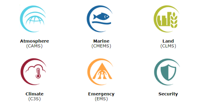
These value-adding activities are streamlined through six thematic streams of Copernicus services:
There are many resources to help students, entrepreneurs, developers, researchers, GI professionals, public authorities, and interested citizens access these services. Here is a selection of online training resources that you can try out yourself for free (or at a low cost).