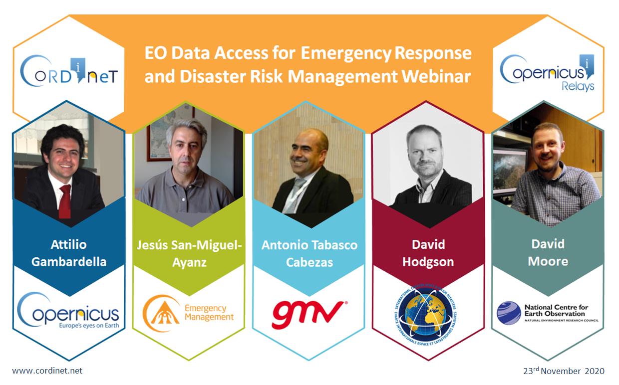
On the 23rd of November five distinguished experts shared their knowledge at the EO Data Access for Emergency Response and Disaster Risk Management Webinar.
Webinar recording, pdfs and guides can be found here: https://cordinet.net/webinar (and in the ‘Webinar’ tab along the top of the cordinet.net webpage).
The packed out event, run by the CoRdiNet project, was opened by John Remedios, Director of the National Centre for Earth Observation, who welcomed everyone and introduced the guest speakers. He spoke of the growing use of earth observation for emergency response in the public domain, combined with a growing cooperation between all sectors involved: national and regional services, local authorities, businesses, and space agencies. Adding that with the help of satellite data, information could be sent to people in the field quicker, at the point of need, decreasing the impact of a crisis.
The webinar featured an introduction to the free earth observation emergency services available globally for manmade and natural disasters such as wildfires, oils spills and floods. Focusing on Copernicus, the EU’s Earth Observation Satellite Programme, a closer look was taken of the Emergency Management Service that provides both immediate emergency response data (e.g. an erupting volcano) and long term, early warning and recovery data (e.g. droughts). Most importantly, the webinar covered who could access this data and how and where it could be found. Other similar organisations such as the International Charter Space and Major Disasters were also highlighted. This was followed by the line-up of guest speakers:
- Attilio Gambardella: Policy officer at the European Commission in Directorate General for Defence Industry and Space, responsible for the Copernicus Emergency Management Service. Presenting on: Copernicus Emergency Management Service – An Overview.
- Jesús San-Miguel-Ayanz: Development lead and coordinator of the European Forest Fire Information System (EFFIS) and the Global Wildfire Information System (GWIS), European Commission Joint Research Centre. Presenting on: Wildfire: Early Warning and Monitoring.
- Antonio Tabasco Cabezas: Head Remote Sensing Applications and Services Division at GMV. Presenting on: The Experience of a Copernicus Relay Industry Working in Emergency and Disaster.
- David Hodgson: Executive Secretariat member of the International Charter Space and Major Disasters. Presenting on: International Charter: Space and Major Disasters.
- David Moore: National Centre for Earth Observation (NCEO) at the University of Leicester. Presenting on: Mozambique Flooding from Cyclone Idai – NCEO Response and Lessons Learnt.
The free online event attracted nearly 200 registrants, spanning 42 countries, over 5 continents, 19 of which were from Europe. The international crowd were able to submit questions to the illustrious panel and did so enthusiastically, with many insights exchanged.
A recording of the webinar and pdfs of all the presentations can be found here (https://cordinet.net/webinar and in the ‘Webinar’ tab along the top of the cordinet.net webpage) along with specially created additional resources in the form of ‘how to’ data access manuals and video guides.
This was the second webinar in the EO Data Access series delivered by CoRdiNet in partnership with the NCEO – University of Leicester and GMV. CoRdiNet is a H2020 coordination action financed by the European Commission under the Horizon 2020 programme, grant no. 821911.
