Facilities
Facilities

Our data facilities, instruments and laboratories support the work of NERC scientists undertaking research worldwide
NCEO provides scientific oversight, governance and coordination of a series of NERC-funded facilities, data centres and computing infrastructures focused on Earth observation (EO). These facilities are available for NERC and the wider UK science communities to access via grant awards or direct-access proposals. Our state-of-the-art capabilities are evolved to support developing science areas beyond the focus of NCEO.
Centre for Environmental Data Analysis (CEDA)
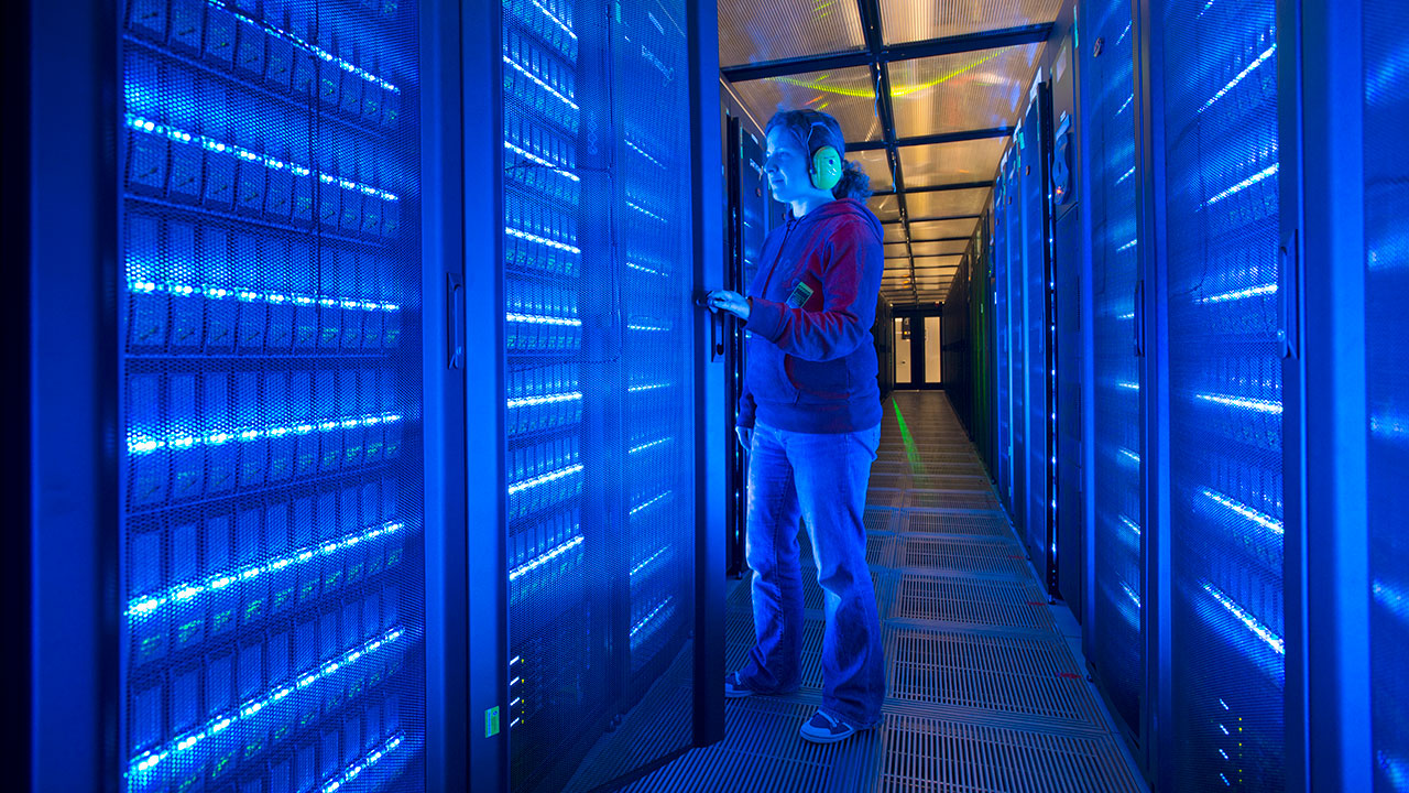
NCEO offers access to data, alongside massive storage, processing and analysis capabilities, through the Centre for Environmental Data Analysis (CEDA) on the JASMIN computing infrastructure.
CEDA infrastructures support a range of activities, which aid the analysis requirements of the UK and European climate and environmental science communities.
The CEDA Archive forms part of NERC’s Environmental Data Service (EDS) and is responsible for looking after data from atmospheric and Earth observation (EO) research. The CEDA EO data collection on JASMIN is the largest EO data archive in the UK.
Field Spectroscopy Facility (FSF)
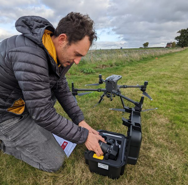
NCEO provides governance and oversight of NERC’s Field Spectroscopy Facility (FSF) at the University of Edinburgh. FSF maintains and provides a pool of state-of-the-art spectroscopy instruments for use by the UK research community.
Instruments are available either for loan for NERC-supported research or for hire for commissioned research projects. FSF includes a calibration and test laboratory for scientists to characterise new equipment.
New users are offered training in both equipment use and measurement principles.
NERC Earth Observation Data Analysis and Artificial-Intelligence Service (NEODAAS)
NEODAAS at Plymouth Marine Laboratory (PML) is overseen by NCEO on behalf of NERC
NEODAAS offers a range of services that include:
- acquisition and processing of data from a range of satellites
- airborne data processing
- artificial intelligence (AI) system training and access to computing (MAGEO GPU cluster)
- code optimisation to reduce data processing time
- dynamic project facilitation for research cruises
- near-real-time data products; capability to download and synthesize data from many satellites as soon as available, inc. chlorophyll concentration and sea surface temperature (SST)
- machine learning training (access to Massive GPU for Earth Observation (MAGEO))
- NERC-funded NEODAAS technical support
- access to three above-water semi-autonomous radiometer systems
Field, Laboratory and Airborne Measurement Capabilities
We operate state-of-the-art laboratory facilities at Space Park Leicester and King’s College London at Rothamstead Research.
Our laboratories encompass airborne and satellite remote sensing, environmental modelling, fieldwork and in-situ and laboratory measurement and experimentation.