BIOMASS Education Resources
BIOMASS Resources

The EO Detective Biomass classroom resources all introduce the Biomass satellite to students through age-appropriate, curriculum-related activities.
Each PDF booklet contains:
- An overview of the activity or activities including the prior learning required, suggested learning outcomes and key words, and links to the national curricula in England, Scotland, Wales and Northern Ireland
- Background notes summarising key aspects of the mission along with related science
- Practical notes on using the resources
- Activity descriptions including resources and preparation needed; a suggested teaching sequence indicating opportunities for differentiation, homework and assessment; sample results and answers to questions; and ideas to extend the activity beyond the classroom or curriculum area
- Worksheets and resource sheets to copy for use in class
- A curated list of relevant online resources.
The slide deck that accompanies each booklet is designed to support you however you choose to deliver the activity. As well as photographs and images to encourage discussion, we have included copies of the questions and images from the worksheets and resource sheets to use as you set homework; go through instructions, worked examples or answers; or print out for students who need information in smaller chunks or bigger type.
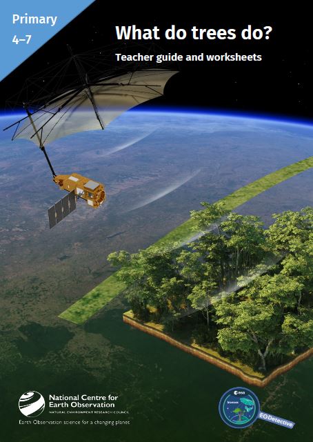
Age 4–7/KS1
In this classroom activity, students think about ways in which different parts of a tree are useful. They discuss why trees are important for us, other animals and plants. Finally, they use photographs alongside their own experience to consider how difficult it can be to count trees and find out how the Biomass satellite will help.
- Pack includes: Teacher guide (containing background information, lesson plan, printable resources etc.) and PowerPoint presentation
- Download here: What trees do – Teacher Guide, What trees do – Presentation
Age 11–14/KS3
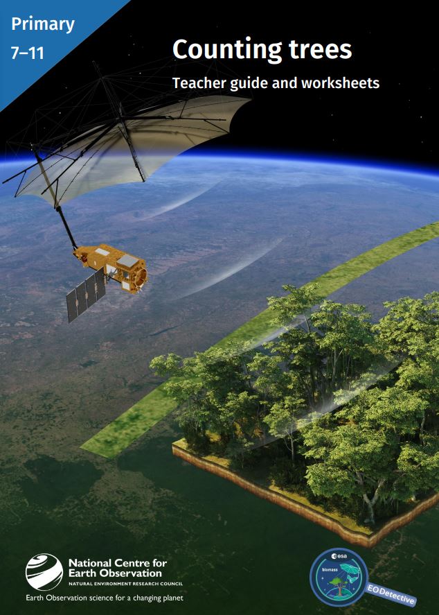
Age 7–11/KS2
These classroom resources support students learning about the forested areas of the Earth: where they are, which are diminishing, and which are increasing. They provide opportunities to discuss the reasons for these changes. Students use photographs alongside their own experience to consider how difficult it can be to count trees and find out how the Biomass satellite will help. An optional activity or demonstration introduces how the instrument on the satellite works. The pack can be used alongside study of rainforest ecosystems.
- Pack includes: Teacher guide (containing background information, lesson plan, printable resources etc.) and PowerPoint presentation
- Download here: Counting Trees Teacher Guide, Counting Trees Presentation

Age 11–14/KS3
This pack contains two activities.
The first, mostly maths, activity is introduced by considering how the mass of a tree is related to its role in the carbon cycle. Practical tasks give students the opportunity to approximate the volume of wood in local trees using simple equipment and mathematical ideas related to areas and volumes, proportionality and or the geometry of triangles. They are encouraged to discuss the accuracy of different methods.
The second, more science-focussed, activity describes the principles behind using airborne lidar to measure tree height and illustrates this with calculations. Students can carry out a practical modelling the technique to consider limitations. This leads to descriptions of the work of radar satellites and the Biomass satellite which allow students to consider the relationship between the wavelength of radiation used and the detail of tree structure revealed.
Pack includes: Teacher guide (containing background information, lesson plan, printable resources etc.) and PowerPoint presentation
Download here: Measuring Trees Teacher Guide, Measuring Trees Presentation
Satellite Missions
Observation from satellite missions play a crucial role in monitoring climate change by providing comprehensive and continuous observations of Earth system components
NCEO scientists are involved with several upcoming satellite missions as Mission Advisory Group members where they have a leading or collaborative role in mission conception, developing sensor properties, system analysis, data analysis, modelling, algorithm development or validation activities.