Grassland community types in sustainable land management and the maintenance of pastoralist livelihoods

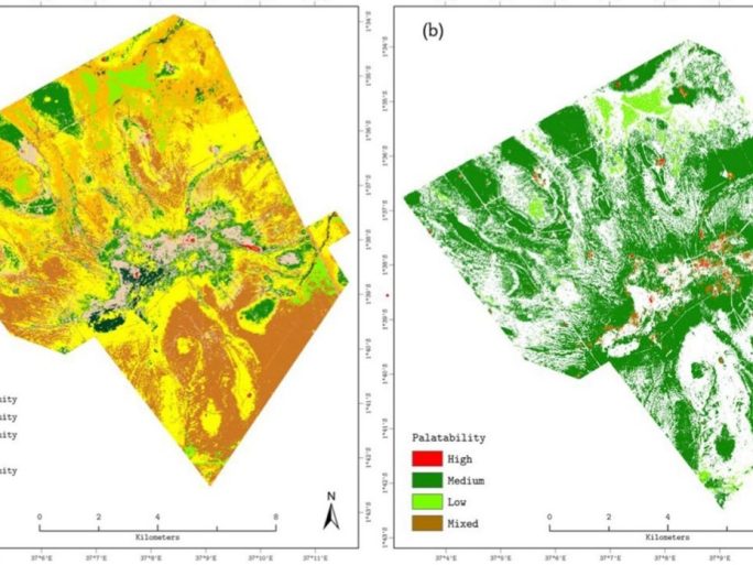
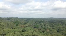
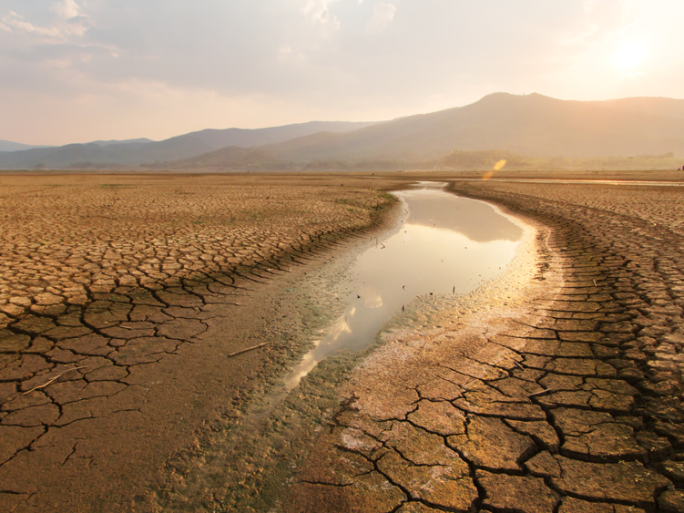
Today is World Environment Day and we are celebrating by research summary of a recent paper co-authored by our own Professor Heiko Baltzar. The study, published in Frontiers (Front. Sustain. Food Syst., 27 May 2025. Sec. Land, Livelihoods and Food Security) last month, explored the role of grassland community types in sustainable land management and the maintenance of pastoralist livelihoods in Kenya. Semi-arid grassland ecosystems are crucial for biodiversity, carbon sequestration, and animal fodder; but are increasingly placed under pressure by overgrazing and climate variability. The aim of the study was to map grassland communities and assess their palatability in semi-arid Kenya using Multiple Endmember Spectral Mixture Analysis (MESMA) and sentinel-2 satellite imagery. They also imbedded species abundance with forage quality metrics. Their findings provide actionable insights for sustainable grazing management and land protection.

Hazardous Weather

In our changing climate, hazardous weather events such as storms, floods, wind, snow and ice, and fog events are expected to become more extreme. Our ability to manage these hazards is dependent on timely and accurate weather forecasts.

Ocean biogeochemistry

Ocean biogeochemistry and ecosystems are an essential Earth system component, both because of their uptake of antrophogenic carbon emissions (through biological carbon pump, i.e. air-sea fluxes, photosynthesis in the ocean and transport of carbon to the ocean bottom) and for providing living resources for billions of people around the world.

Sea Ice Data Assimilation

Arctic sea ice is a crucial component of the climate system. The radiation balance and the dynamics of the atmosphere and ocean have strong interactions with sea ice. Observations show that the extent of Arctic Sea ice has been declining over the last few decades. This could have a significant impact on the climate, ecosystems and human activities and highlights the need for improved sea ice prediction.

4DEnVar Data Assimilation Technique

Land surface models are paramount to the climate modelling community in that they provide ‘boundary conditions’ — a quantification of the water, carbon and energy fluxes between the land and atmosphere at the Earth’s surface. Arguably the biggest problem for land surface modellers is the selection of parameter values for use in their land surface model.

Canadian Wildfires Campaign

Earth observation is vital in air quality modelling and assessments, particularly in regions where substantial and reliable ground networks are unavailable. The King’s NCEO team have produced algorithms that utilise satellite observations of active fires to estimate emissions of fire-sourced particulate matter.

Water Cycle

The National Centre for Earth Observation (NCEO) has secured five years of investment in its environmental science research capabilities through the NERC’s National Capability Single Centre Science and National Public Good initiatives.