Lower Secondary
(age 11-14 years)
Resources for ages 11-14 years

The resources listed on this page were designed for secondary school pupils. They cover concepts from topics in mathematics, geography, science and computing but many also include extension activities linked to other curriculum areas.
You may also find the upper-primary or upper-secondary materials useful for some topics.
Watching a glacier
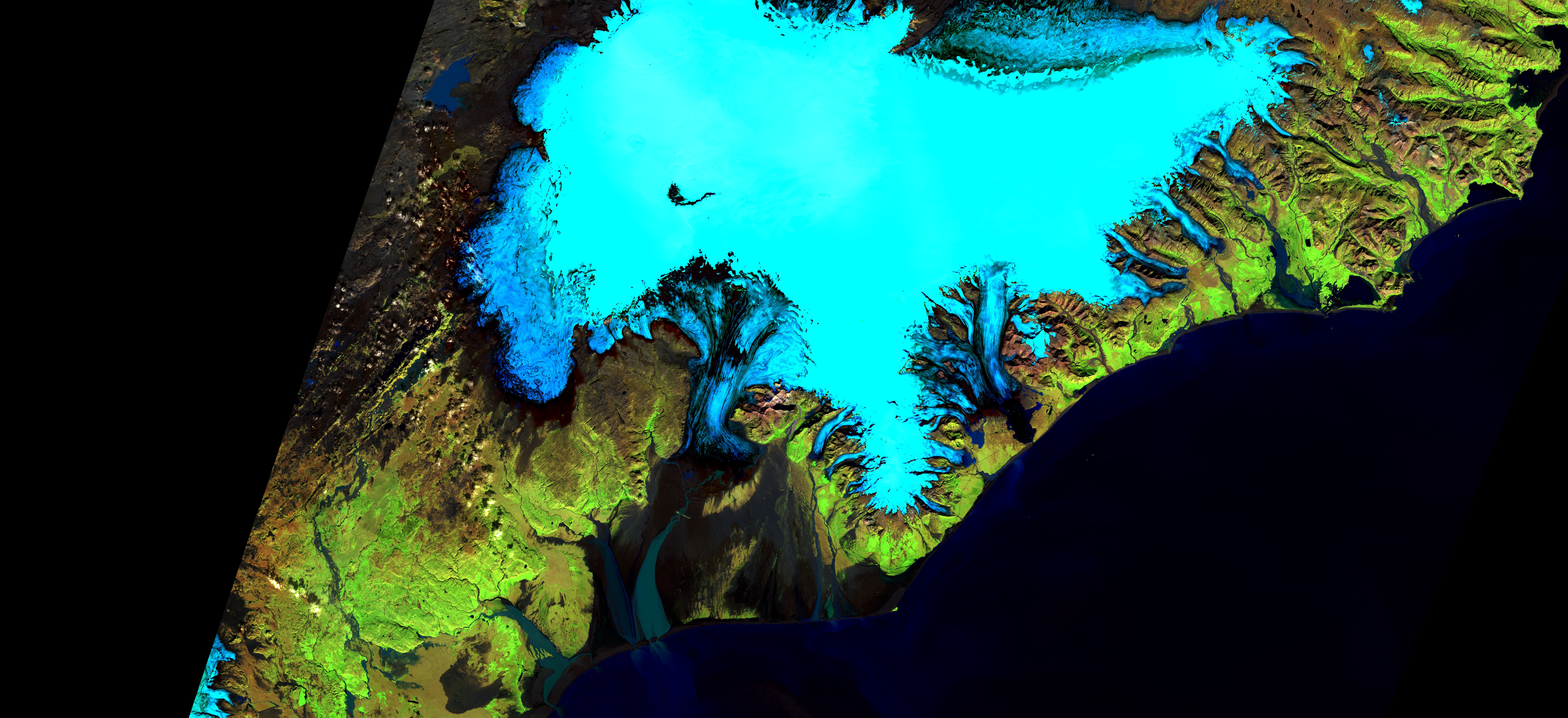
This brief activity uses false-colour images of the Columbia glacier in Alaska to introduce the idea of using sequences of satellite images to monitor change.
It focuses on the selection of appropriate data for an investigation. The upper-primary activity of the same name uses some of the images to explore the impact of climate change on glaciers.
Pack includes: worksheet, PowerPoint presentation, teacher guide
Download from: STEM Learning | Watching a glacier (11–14)
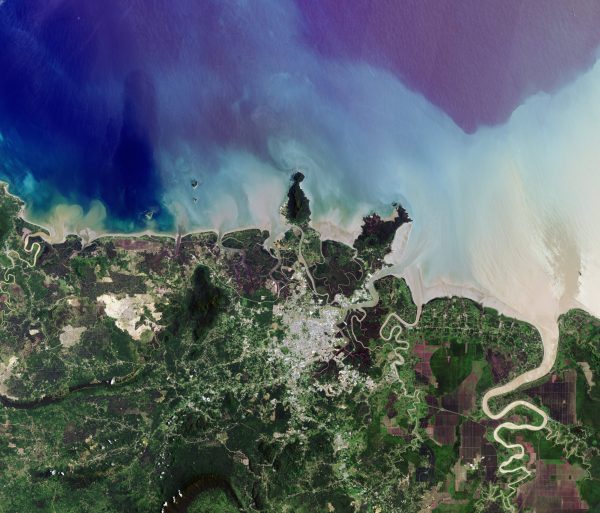
Astronaut or satellite
This activity introduces the idea of remote sensing and some of the difficulties of obtaining images from orbit by asking students to match photographs taken from the ground with early astronaut photographs.
You could use this in conjunction with the ESA version of the activity From the ground and from the sky which, although intended for use with primary pupils, explores the advantages of using different viewpoints in more detail.
Pack includes: worksheet, PowerPoint presentation, teacher guide
Download from: STEM Learning | Astronaut or satellite
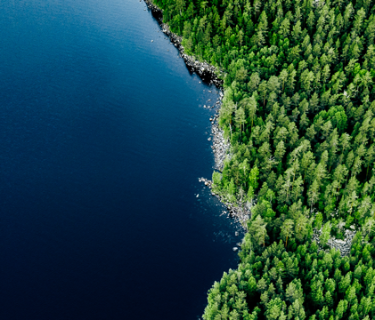
Exploring rainforests
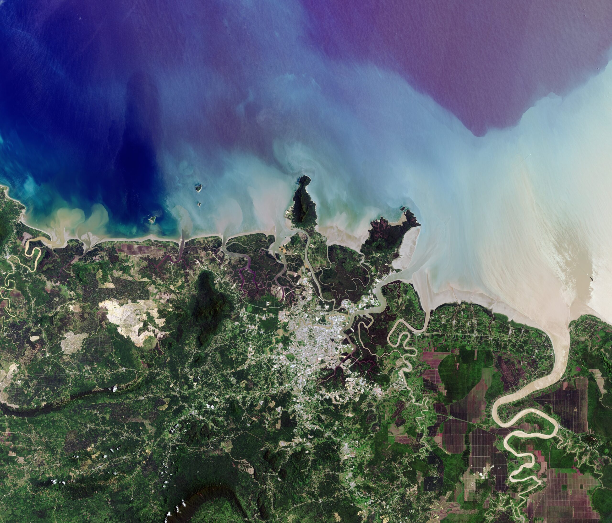
In this activity, students examine changes to forests in cross-border regions of Africa and Borneo using Google Earth to help identify features shown in satellite images and make measurements. The context allows students to explore the factors which put pressure on forested areas, and what is being done to protect them, as well as providing an opportunity to consider how incomplete or/and subjective data can be used effectively.
Pack includes: combined worksheet, separate worksheets for individual tasks, kmz files for use in Google Earth, PowerPoint presentation, teacher guide .
Download from: STEM Learning | Exploring rainforests
Where would you photograph?
In this activity children take on the role of Earth observation scientists submitting a request for an image they would like for their research. This gives them the opportunity to consider the possibilities of pictures taken from orbit (and the limitations) and to write scientifically for a specific audience. It can be used to consolidate learning from the other resources or for an in-class or whole-school competition.
Pack includes: worksheet, sample response, information sheet, PowerPoint presentation, certificate, teacher guide
Download from: STEM Learning | Where would you photograph? (11–14)
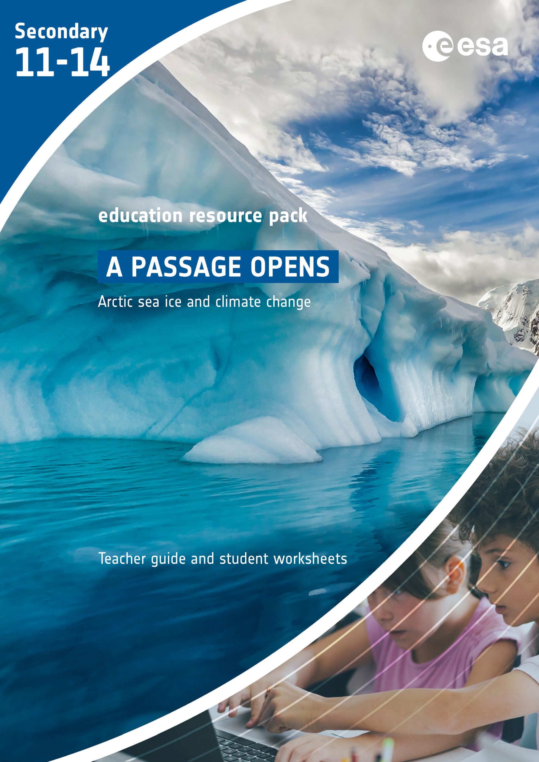
A passage opens
This resource from the ESA Climate office explores the role of Arctic sea ice upon the Earth’s climate system by considering the potential opening of the Northwest Passage. There are three activities:
- A reading exercise about the phenomenon known as Arctic amplification which leads into a mathematical investigation.
- A practical investigation to explore the effect of changing ocean temperatures on the melting of ice using a smartphone or tablet to model a satellite monitoring sea ice.
- An exploration and analysis of long-term trends in sea ice extent and sea surface temperatures using actual satellite data from the ‘Climate from Space’ web application.
These activities could be used in conjunction with those described in Download from: STEM Learning | Arctic sea ice and climate change
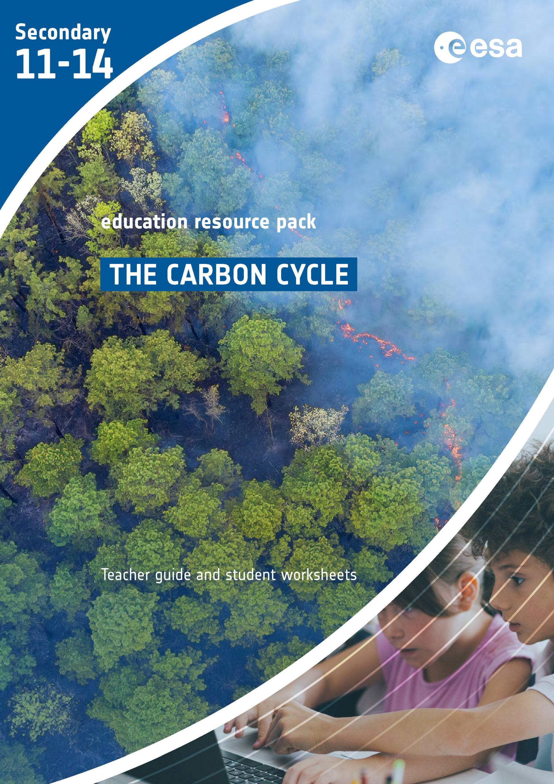
The carbon cycle
This resource from the ESA Climate office is centred on how carbon moves through the carbon cycle. The resource is divided into three main sections:
- A reading assignment and optional game, through which students are supported in creating a carbon cycle diagram. The activity also discusses methane and carbon footprints as well as providing an opportunity to consider strategies to reduce these on a community level.
- A practical demonstration of the impact ocean acidification leading into designing an investigation.
- Using real satellite data available online to research and present answers to a question about patterns and trends in concentrations of greenhouse gases or/and their relationship with other variables.
Pack includes: 3 worksheets, information sheet, teacher guide including science background
Download from: STEM Learning | The carbon cycle
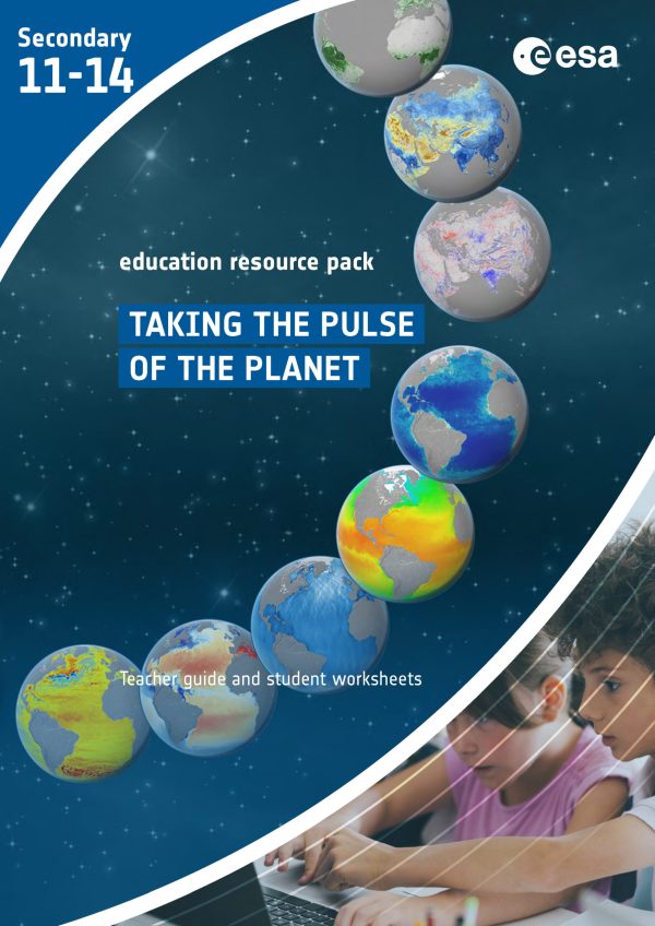
Taking the pulse of the planet
This resource from the ESA Climate office examines how satellite instruments orbiting the Earth use different types of electromagnetic radiation to monitor change, and how information from outside the visible spectrum is analysed for display. It therefore supports work on the electromagnetic spectrum, mixing coloured lights and how an electronic display generates a coloured image.
The key concepts are introduced through a reading exercise. Students can then use satellite data in an online tool to create and interpret true-colour and false-colour images. There is also a research activity where students use data from the ESA Climate Change Initiative programme alongside other online sources to produce a report about a recent disaster linked to flood or drought.
The ESA Education office resource The magic of light, which is aimed at younger pupils, may be a useful introduction to this pack. The EO Detective activities Seeing temperature <link blue text to p3.4.2> and Building images <link blue text to p3.4.3> explore the visualisation and analysis of raw satellite data in more detail.
Pack includes: 3 worksheets, 2 information sheets, teacher guide including science background
Download from: STEM Learning | Taking the pulse of the planet (11-14)
Climate detectives
The ESA Climate Detectives programme challenges teams of 2–30 students aged up to 19 years old, supervised by a teacher or mentor, to:
- identify a an environmental or climate problem
- investigate the problem using Earth observation data or/and data collected locally
- share results and make a difference.
Registration opens in September each year, plans need to be submitted in January, and project reports and conclusions in April. ESERO-UK provides support to teams, including training for teachers and feedback on plans. The related Climate Detectives Kids challenge, which is described in more detail here, is a good starting point for students in Year 7/P7.
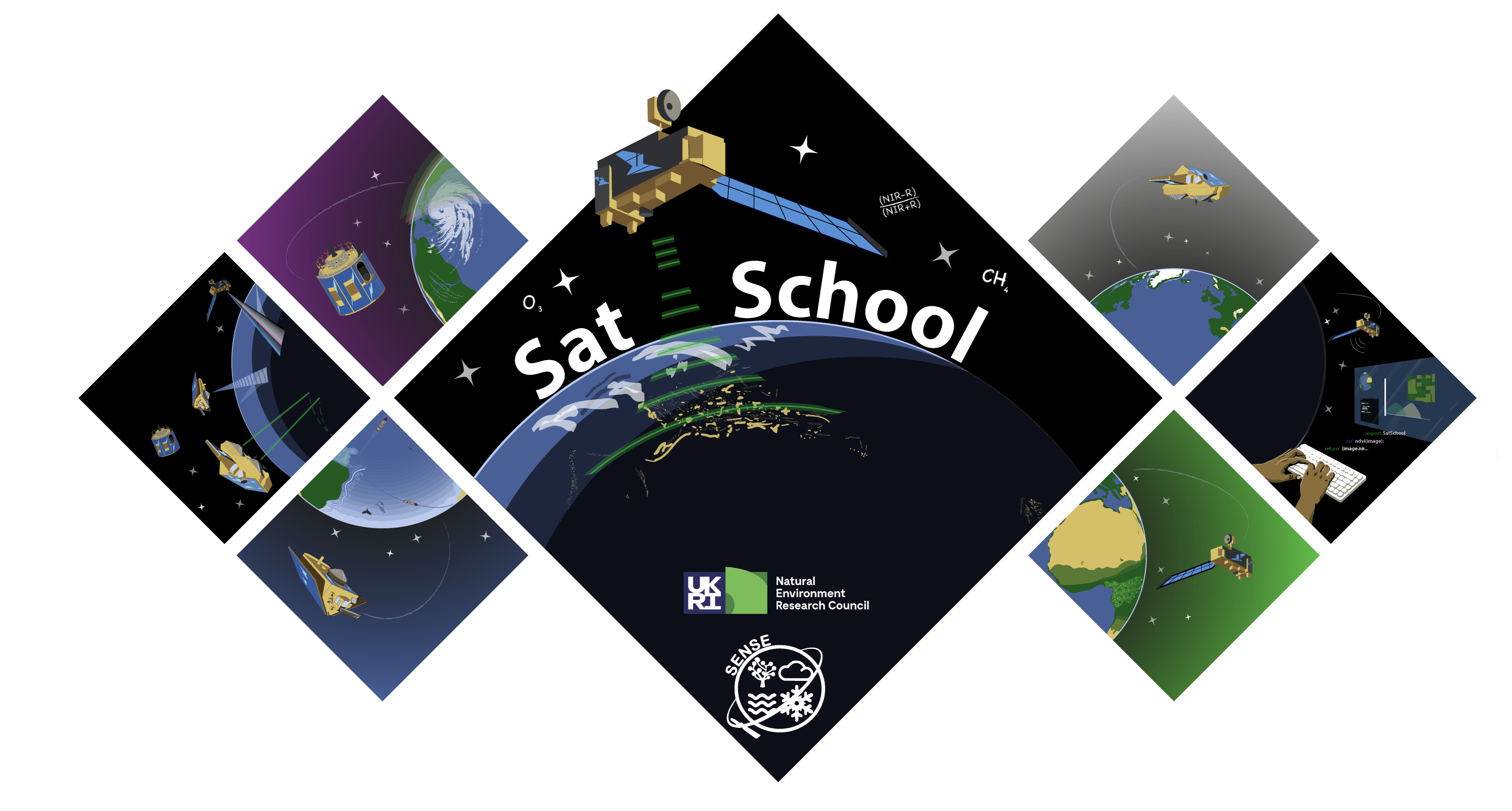
SatSchool
SatSchool is a programme designed by PhD students from SENSE to help students in this age range to learn about Earth Observation.
The six modules, each containing 2–4 hours of presentations and interactive activities, were designed to be self-guided but the team have since added lesson plans and worksheets to support teachers considering using these activities in the classroom. The six modules are:
- Introduction to Earth Observation
- Hands on with Data
- Cryosphere
- Biosphere
- Atmosphere
- Oceans
ESA Education resources
Many European Space Agency Education Office resources are related to Earth observation and climate science. The following are particularly relevant:
- The greenhouse effect and its consequences
- After the storm (weather, disaster response)
- Sea ice from space (could be used alongside A passage opens) <link blue text to p3.3.5>
- Infra-red webcam hack
Pack includes: varies
Download from: ESA | Teach with space – secondary classroom resources
Education Resources
Earth observation data, images and contexts are a great way of delivering parts of the core curriculum in a new way.
You do not have to prepare lessons using them for yourself: there are a growing number of ready-to-use resources available that contain everything you need to give it a go.
