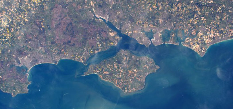
One of the joys of working in Earth Observation is that one always has an excuse to look at pictures of the Earth from space. Those illustrating posts on this site or used on our Twitter feed may be blocky maps or have surreal colours because our scientists create them from satellite data to show a particular quantity (the amount of a certain gas in the atmosphere), or highlight things that would be difficult to see in real life, such as how much ground has been burnt in a fire. But comparing these with photographs or true-colour satellite images can help us make sense of what they show – and sometimes turn up surprises of their own.
NCEO has a range of family-friendly resources based on such stunning images so, if you’re looking for something to occupy yourself on a day when leaving home is not an option, read on.
If you have an i-pad – the EO detective app is a game with a mix of activities – some easy enough for small children and others that need a little more knowledge of geography. It uses photographs of the Earth taken by British ESA astronaut Tim Peake during his Principia mission, and you can listen to him talk to us about the challenges and joys of looking down on our planet from the International Space Station here .
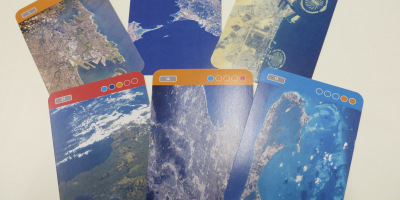
If you want to play together – and your printer has plenty of ink – then print out our Earth from Space cards (single sided or, if you’re really fancy, double-sided). You can find rules for six different games using these cards on our blog , but feel free to invent some of your own and share the rules with us.
For something less competitive and more relaxing, try our Colour in the Earth sheets. There are two versions to print out: straightforward outlines with a key that can help you make sense of the original photographs; and more detailed pictures for those with sharper pencils or/and more time. Or you could download individual image files from this page and use your favourite painting or drawing app to add colour.
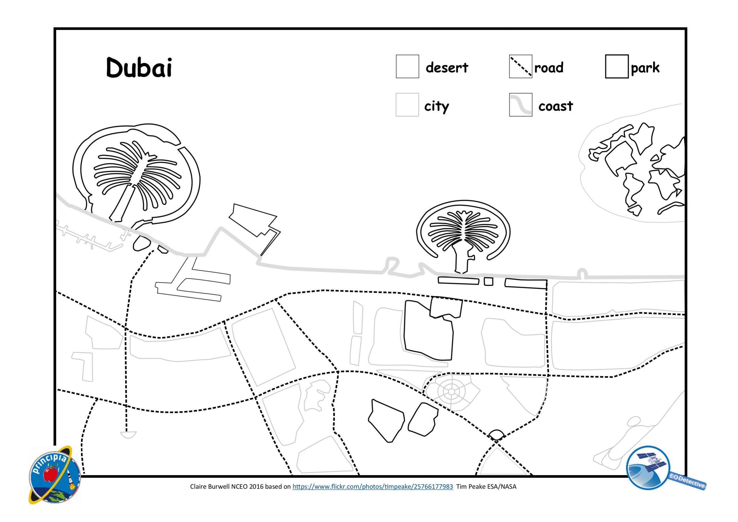
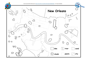
The colouring sheets were originally created as an educational resource, which means they can also support home-learning for primary children. There’s a new ‘lesson plan’ for a class of one or more (the session has gaps where ‘teacher’ can go away and get on with their own work!), and information about what parts of the UK national curricula the activity links to, in our home-learning guide . The guide also includes other things to think about, more information about each of the pictures, and links to some of the best sites for exploring further.
Colour in the Earth is only one of a range of curriculum-linked resources based on Earth observation. Activities for older children include using measuring tools in Google Earth to explore how rainforests in different parts of the world have changed over time, and using raw satellite data to find out how a string of numbers sent down from a satellite are turned into coloured images that display useful information. All of these resources have been quality assured by STEMLearning/ESERO UK and have been used in classrooms by over 100 000 children since they were first published.
Whether you use any of these as a home-schooling activity or just for fun, we would love to hear how you have used them and see what you produce. You can contact us through Twitter @NCEOscience @EODetective, the EO Detective blog , or email us.